File:DSC28372, Cannery Row, Monterey, California, USA (6062142304).jpg
Original file (2,736 × 3,648 pixels, file size: 2.48 MB, MIME type: image/jpeg)
.jpg)
Summary
| Description |
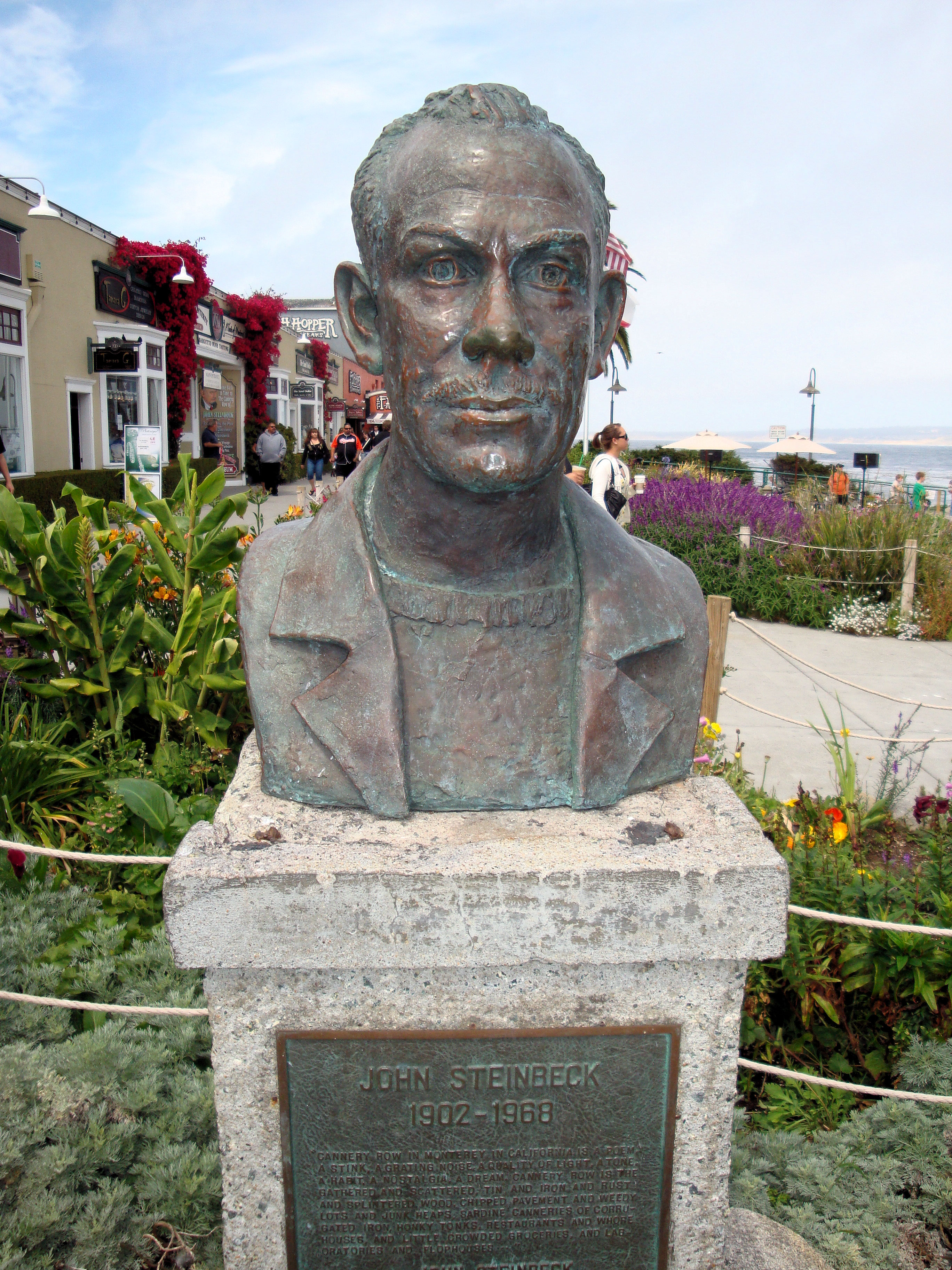
Welcome to Cannery Row, one of the most beautiful coastal areas in the country. Monterey visitors rank Cannery Row as their favorite spot on the Peninsula. Immortalized by John Steinbeck’s classic novel, Cannery Row’s world-renowned heritage is found in the distinctive architecture that is reminiscent of earlier days. The cross-overs that used to carry sardines are now your path to a wealth of exciting shopping and dining experiences. The Monterey Bay National Marine Sanctuary is one of our nation’s treasured underwater parks. Each of the 14 marine sanctuaries protects a special underwater or coastal environment. The Sanctuary extends an average of 35 miles offshore, covers over 5300 square miles, and possesses an astonishingly diverse array of marine life, including 26 species of marine mammals, 345 species of fish and 4 species of turtles. Cannery Row is an ocean side playground filled with fun for everyone. Outdoor recreation abounds on land and in the water. Visitors are invited to explore the beauty of Monterey Bay’s rocky shores and marine life with kayaking, diving and tide pooling. The lineup of restaurants on the Cannery Row includes award winners and who’s who in the world of culinary trends. You will find temptations for every craving with a collection of restaurants ranging from casual to gourmet. Cannery Row has long been known as the place to go for distinctive souvenirs of the Monterey Peninsula. What has always remained constant on Cannery Row is the presence of small, independently owned stores, which carry items you are not likely to find anywhere else. |
| Date | |
| Source |
DSC28372, Cannery Row, Monterey, California, USA
|
| Author | Jim G from Silicon Valley, CA, USA |
| Camera location | | View this and other nearby images on: OpenStreetMap |
|---|
.jpg¶ms=036.617336_N_-121.901378_E_globe:Earth_type:camera_source:Flickr_&language=en)
Licensing
- You are free:
- to share – to copy, distribute and transmit the work
- to remix – to adapt the work
- Under the following conditions:
- attribution – You must give appropriate credit, provide a link to the license, and indicate if changes were made. You may do so in any reasonable manner, but not in any way that suggests the licensor endorses you or your use.
| This image, originally posted to Flickr, was reviewed on 31 March 2013 by the administrator or reviewer File Upload Bot (Magnus Manske), who confirmed that it was available on Flickr under the stated license on that date. |
File history
Click on a date/time to view the file as it appeared at that time.
| Date/Time | Thumbnail | Dimensions | User | Comment | |
|---|---|---|---|---|---|
| current | 16:09, 31 March 2013 | | 2,736 × 3,648 (2.48 MB) | File Upload Bot (Magnus Manske) | Transferred from Flickr by User:Josve05a |
File usage
The following 4 pages use this file:
.jpg)