File:Aerial view of Holyoke and Connecticut River.JPG
Jump to navigation
Jump to search

Size of this preview: 800 × 522 pixels. Other resolutions: 320 × 209 pixels | 640 × 417 pixels | 1,024 × 668 pixels | 1,280 × 835 pixels | 1,950 × 1,272 pixels.
Original file (1,950 × 1,272 pixels, file size: 1.04 MB, MIME type: image/jpeg)
Summary
| Description |
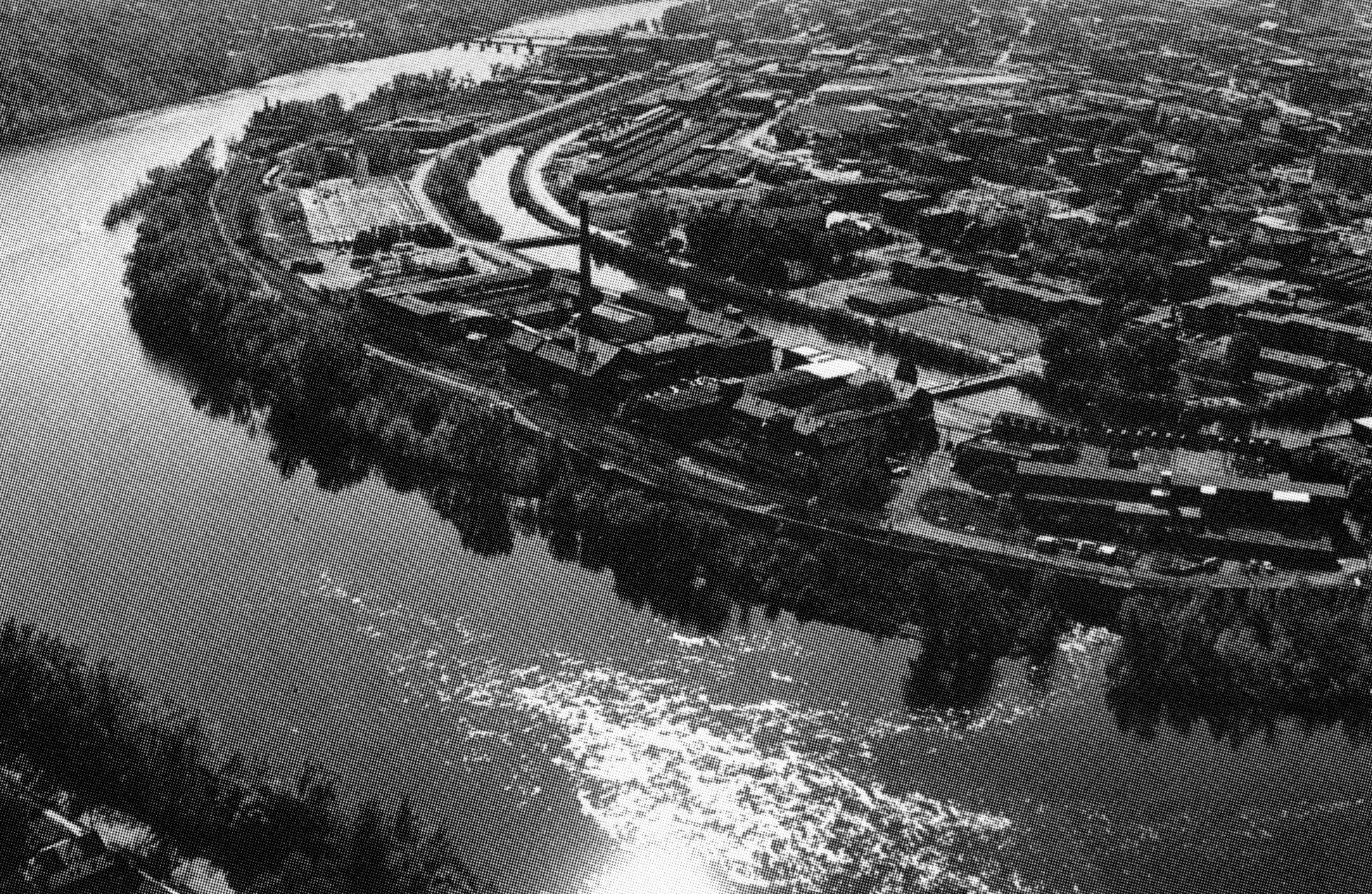
English: An overview shot of The Flats and Holyoke Canal System before 1950 for the US Army Corps of Engineers project mitigating flooding in the canal districts and Springdale. |
|||
| Date | circa 1950 | |||
| Source | Defense.gov | |||
| Author | Unknown author | |||
| Permission (Reusing this file) |
|
File history
Click on a date/time to view the file as it appeared at that time.
| Date/Time | Thumbnail | Dimensions | User | Comment | |
|---|---|---|---|---|---|
| current | 03:59, 27 April 2019 | | 1,950 × 1,272 (1.04 MB) | Simtropolitan | {{Information |description ={{en|1=An overview shot of {{w|The Flats, Holyoke, Massachusetts|The Flats}} and {{w|Holyoke Canal System}} before 1950 for the {{w|US Army Corps of Engineers}} project mitigating flooding in the canal districts and {{w|Springdale, Holyoke, Massachusetts|Springdale}}.}} |date ={{circa|1950}} |source =[https://media.defense.gov/2013/Feb/22/2000723921/-1/-1/0/100625-A-BJ146-160.JPG Defense.gov] |author ={{unknown}} |permission ={{PD-USGov-... |
File usage
The following page uses this file: